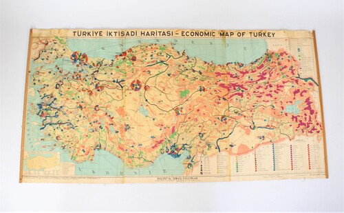
old school map 'economic map of Turkey', 1955
Sold
Sorry, this product is not available anymore. Follow us on Facebook or subscribe to our newletter to discover our new arrivals.
- Description
An old economic school map of Turkey from 1955. School wall chart. Visual representation of the economic activities per region. Turkiye iktisadi haritasi. Teacher Dr. Ismail Yalcinlar. Geographical Institute of the University of Istanbul.
Paper on linen, various damages.
Dim: 196*99 cmEski bir ekonomi okulu afişi, 1955'ten Türkiye haritası. Bölgelere göre ekonomik faaliyetlerin görsel temsili.
Türkiye haritası. Doçent Dr. İsmail Yalçınlar. İstanbul Üniversitesi Coğrafya Enstitüsü.
Keten üzerine kağıt, çeşitli hasarlar.
Karartma: 196*99 cm
- Shipping Costs
- Shipment possible or pick-up at the store

