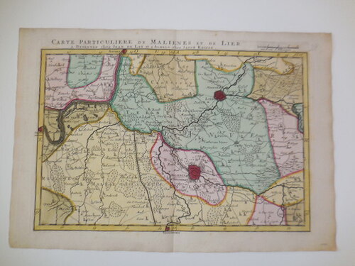
antique map of Mechelen, 1740
Sold
Sorry, this product is not available anymore. Follow us on Facebook or subscribe to our newletter to discover our new arrivals.
- Description
Colored map: 'carte particuliere de Malienes et de Lier, a Deventer chez Iean de Lat et a Almelo chez Jacob Keizer' .From "Reis en Handatlas van Vlaanderen, Braband en aanleggende Landschappen". Printed by S.J. Baalde in Amsterdam. 1740. In good shape.
25 x 37 cm.
- Shipping Costs
- Shipment possible or pick-up at the store

